
The Economics of Openness: Funding Earth Observation as a Public Good
Governance, continuity, and public-purpose use in Earth Observation

Earth Observation is far easier to access than it was a decade ago. Data once handled by a narrow set of agencies and specialist teams now circulate through open archives, cloud platforms, browser tools, and shared analytical environments. Those changes have widened entry, lowered some technical barriers, and made new forms of scrutiny possible. Yet public use still fails for more ordinary administrative reasons. Monitoring programmes lose continuity, workflows never become a stable part of institutional operations, and technically available services sit idle when budgets tighten, procurement stalls, staff move on, or no organisation takes responsibility after release. Availability is only one condition of public use. On its own, it secures very little.
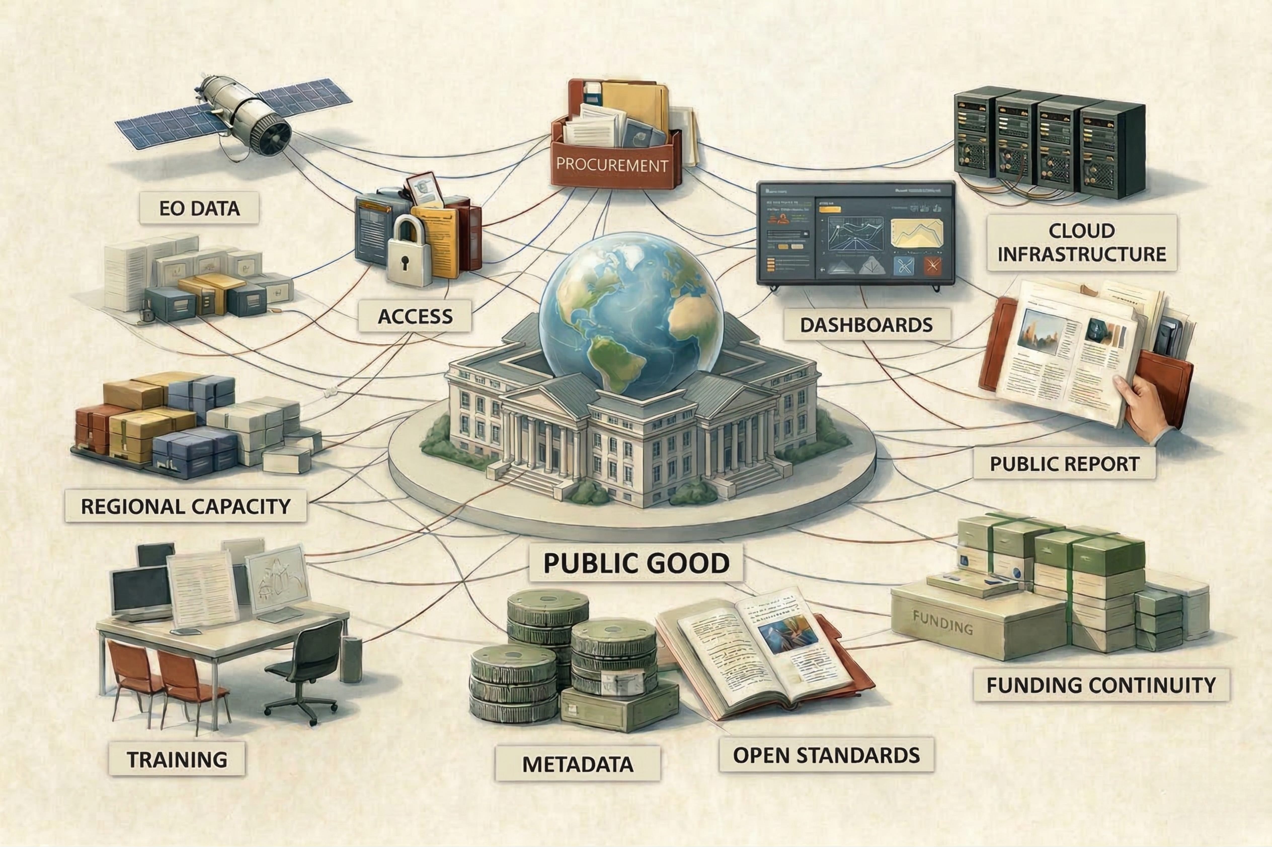
Part of the confusion lies in treating openness as a single condition. A sensing asset produces data. An access regime determines who can use them and on what terms. An operational layer turns them into alerts, maps, and monitoring outputs. Organisational uptake relies on ministries, agencies, NGOs, journalists, or community groups having authority, staff, methods, and routines for repeated use. Some arrangements add a further public-facing layer that keeps information available and inspectable across institutions and publics. Each part breaks down differently, and each draws on its own mix of budgets, contracts, stewardship, and administrative effort. An arrangement can look open on paper and remain thin in practice.
Markets can sustain some parts of this landscape. Firms will pay for bespoke analytics, tasking priority, premium delivery, or sector-specific products when the gains are direct and excludable. Public-facing uses are harder to fund that way. Regulatory oversight, early warning, environmental monitoring, and accountability produce benefits that spill across agencies and sectors, often appearing as avoided harm, better timing, or stronger scrutiny rather than revenue to a single buyer. Those gains are real, but they are difficult to capture through individual transactions. Public procurement and anchor demand therefore shape markets in ways private demand rarely will on its own.
That distinction helps separate cases often grouped together under the heading of openness. Carbon Mapper, MethaneSAT, and FireSat involve monitoring capabilities whose social return is easier to defend than to monetise. NICFI centres on purchased access to imagery already in orbit. SERVIR and Digital Earth Africa show what uptake requires inside institutions and regions. Global Forest Watch serves a different function, keeping shared evidence available across journalists, public agencies, NGOs, and researchers who would otherwise work from more fragmented ground. The economics of openness change at each point.
Methane monitoring is a useful test case because it sits close to regulation and disclosure. Carbon Mapper and MethaneSAT were designed to produce open evidence at a scale relevant to verification, reporting, and enforcement. Both lie somewhere between a classic public mission and a customer-led analytics business. Their intended users extended well beyond paying clients, since the point was to support scrutiny by regulators, watchdogs, researchers, and the wider public.
Carbon Mapper brings together scientific leadership, non-profit coordination, philanthropic capital, public collaboration, and commercial aerospace delivery. Led by the non-profit Carbon Mapper and developed with NASA’s Jet Propulsion Laboratory, Planet Labs, CARB, and other scientific and philanthropic partners, it produces data intended to work at facility scales, where methane evidence can support oversight and regulatory action. That leaves it in an awkward funding position. The outputs are more operational than those of a research mission, while the customer base is less clearly bounded than in a conventional commercial analytics offer. Philanthropy absorbed early risk and helped establish the mission. Public and private partners helped move it towards operation. Procurement has started to carry more of the load, with California supporting the capability through its Satellite Data Purchase Program. The case shows how many sources of support may have to be assembled before this kind of monitoring becomes durable.
MethaneSAT followed a different institutional route. Led by the Environmental Defense Fund with scientific and aerospace partners, and backed by major philanthropic funding, it aimed to strengthen independent methane accountability in oil and gas. Open access was central to that purpose. Oversight depended on use beyond self-reporting and beyond a closed circle of paying users.
When the satellite lost contact in 2025, less than two years after launch, the loss exposed fragility beyond the technical failure itself. A mission built for climate accountability and free public use still left continuity, replacement, and long-term stewardship unresolved once the initial coalition had brought it into operation.
Taken together, Carbon Mapper and MethaneSAT occupy a difficult funding position within methane monitoring. Their outputs are more directly usable for accountability, follow-up investigation, and regulatory screening than broad-coverage public systems, while their economics sit uneasily between public infrastructure and customer-led services. Philanthropic finance recurs here because it can move faster than formal procurement, absorb early uncertainty, and help bring a capability into being before governments decide whether to carry it forward. That helps at the establishment stage. It does not settle who funds persistence, who carries replacement risk, or which public institution is prepared to treat the capability as part of its own responsibilities.
Wildfire detection presents a similar funding problem through a different public function. Earlier detection can change dispatch, evacuation, and containment in the first hours of a fire, when small ignitions may still be controlled and delay is costly. The social return can therefore be large even where no broad paying market forms beneath it. FireSat is being assembled through a hybrid arrangement led by Earth Fire Alliance, with Google Research and Google.org involved in development and funding, and Muon Space responsible for building and operating the FireSat Protoflight mission. That mix reduces the immediate burden on ordinary procurement while drawing on private-sector capacity that already exists.
A public wildfire baseline can coexist with commercial offers built around bespoke coverage, premium analytics, and customer-specific products. Even so, that baseline requires clear protection. Building and operating a programme like FireSat gives private firms flight heritage, operational experience, and credibility that can travel into later contracts. Defence demand, premium services, and other customer priorities may become more attractive as the programme matures. Technical success could create pressure to prioritise some users or services over others unless commitments to public use are protected in the programme design.
Methane and wildfire arrive at the same funding difficulty from different directions. Their public returns are broad, visible, and politically intelligible, while paying demand remains fragmented. Hybrid finance can establish the capability. Its persistence turns on who accepts continuing budget responsibility and how the public obligation is protected once commercial incentives deepen.
Norway’s NICFI programme operates at another point in the chain. It did not finance a new sensor. It used public money to buy access rights to existing commercial imagery and make that imagery available to a wide non-commercial user base. Under a 2020 agreement involving Planet Labs, Airbus, and KSAT, Norway opened monthly high-resolution mosaics across more than forty tropical countries without requiring each government, NGO, Indigenous organisation, or research group to procure imagery separately. Public finance was paying for openness itself.
Norway could move quickly. The imagery was already in orbit. Users gained access that would otherwise have remained expensive, fragmented, or both, and commercial supply entered forest governance on altered terms through a contract that built openness into the arrangement.
Continued access then rested on the durability of that contract, the legal design behind it, and the state’s willingness to keep paying after the public rationale had already been established. The first phase concluded in January 2025, and the follow-on procurement was later cancelled in September 2025 after a legal challenge, making clear the fragility of purchased openness.
Forest governance, Indigenous rights, land use, and transparency in deforestation-linked supply chains already involved disputes over evidence and authority. The imagery did not create those disputes. It changed who could enter them and with what evidential footing. Journalists, NGOs, Indigenous organisations, and public agencies could investigate and contest claims more effectively, though that wider non-commercial use still depended on a procurement mechanism carrying most of the access burden.
Access removes one barrier and leaves another untouched. Ministries and agencies still need documented methods, trained staff, infrastructure, and enough control over the work to adapt it to local decisions and keep it alive after the first funding cycle ends.
SERVIR was built around that harder part of the problem. Through regional hubs across Africa, Asia, and Latin America, it linked NASA data with local technical partners and operational priorities around floods, drought, deforestation, food security, air quality, and related concerns. Its approach built capacity through methods, workflows, and operational processes embedded inside institutions expected to use them repeatedly.
EO becomes dependable inside a ministry, technical agency, or regional risk-management body when it supports recurring decisions and can be carried out by staff as part of ordinary practice. SERVIR has documented cases such as crop-insurance support in Kenya and a forest-fire detection and monitoring system in Nepal, which show how EO workflows can become embedded in public decision processes. They are most useful as examples of repeated institutional use. A dataset can remain available for years without changing administrative practice. A workflow gains firmer footing when it becomes part of a seasonal process, a response protocol, or a standing decision routine. Shared repositories, documented methods, and networked training systems can make these practices more portable across hubs and less reliant on any single team.
Budget hierarchies often treat training, method maintenance, and staff continuity as secondary to hardware, platforms, or visible interfaces. Yet regular use usually rests on those less visible forms of support. SERVIR’s more durable achievements came from embedding methods and decision support within organisations so that the work could continue beyond the first grant cycle.
The withdrawal of U.S. government support in 2025 put that institutional base under strain. Parts of the network continued through regional hubs, university partners, technical teams, and practices already built into local work. Trained staff, shared methods, and routine use gave the programme some capacity to continue. Programmes held together mainly by donor finance become vulnerable when that finance is withdrawn. Those rooted in working relationships and locally held methods have a better chance of surviving the same shock.
Digital Earth Africa moves further towards regional public infrastructure. Open archives, analysis-ready data, cloud processing, notebook environments, interfaces, and metadata are assembled within an operational model intended for regular continental use. Built in part on the Open Data Cube, the programme treats openness as infrastructure and places governance and long-term stewardship increasingly within African institutions.
The difference between a technically hosted service and a regionally stewarded one is institutional as well as technical. A hosted service may reduce friction and still leave operational authority elsewhere. A regionally stewarded arrangement distributes management, technical knowledge, and continuing responsibility across institutions on the continent. The location of those capacities affects who can adapt the infrastructure, who can maintain it, and whose priorities shape its development over time. Its longer-term durability rests on use being embedded in national and regional institutions.
Global Forest Watch serves a different function, making forest data, alerts, and analysis available across public agencies, journalists, NGOs, researchers, communities, and companies working under different mandates and with unequal resources. It brought together open forest-monitoring data, cloud-based analysis, forest-change science, and accessible tools in a form that moved information about forest loss beyond specialist repositories and slow reporting cycles. That reach relied on computation, as well as data, being available beyond specialist institutions.
Wider availability changes how different actors can work with overlapping evidence of forest loss. Journalists can identify stories closer to the event. Public agencies can monitor clearance and fire more regularly. Civil society groups can document violations with greater confidence. Companies face closer scrutiny over supply-chain exposure. These are different forms of action, though they draw more often on shared evidence and common tools.
Global Forest Watch occupies a different place from the earlier cases. It is neither a sensing mission, an access-procurement scheme, nor a regional operational service. It works as a shared evidentiary platform. Keeping such a platform alive requires scientific credibility, technical usability, funding continuity, and support from enough institutions and users that withdrawal by any one actor does not immediately collapse the whole arrangement. That breadth of support has been part of its resilience.
Landsat and Copernicus still represent an older model in which Earth Observation is financed and maintained as public infrastructure through long-term state commitment. Many of the newer cases rest on blended funding arrangements and mixed stewardship: hybrid missions, purchased access, regionally embedded operational work, and platforms that keep evidence in circulation across several institutions.
Commercial firms appear throughout these arrangements as builders, operators, suppliers, and sometimes stewards of crucial parts of the chain. Full public ownership of every layer is unnecessary and often implausible. Governments still have to decide which layer is being funded, what public obligation attaches to it, and who carries continuity when contracts lapse, donors withdraw, or commercial incentives shift. At that point procurement is no longer merely technical instrument. It becomes part of governance.
That governance takes shape in ordinary administrative decisions over access rules, embargoes, user categories, service guarantees, procurement terms, maintenance responsibility, and the treatment of the public baseline during emergencies or commercial expansion. Such decisions determine who bears the cost of interruption, whether services narrow towards favoured users, and whether a capability remains usable once the first funding cycle closes.
Open archives and public platforms have widened access, lowered entry costs, and enabled forms of transparency that once required far more concentrated technical power. Yet release is not the same as provision. Missions, access regimes, operational layers, organisational uptake, and shared evidentiary platforms fail in different ways and require different mixtures of public finance, contracts, stewardship, and institutional support.
Some forms of observation and public use require collective funding even when they do not resemble conventional public works. A state may need to sustain a mission, buy access, underwrite an operational layer, support regional stewards, or create anchor demand where no broad commercial market is likely to emerge. When EO supports environmental oversight, climate governance, disaster preparedness, or fairer access to information, public responsibility has to be built into the arrangement from the start.
Earth Observation now combines abundant technical capacity with a far less settled understanding of how collective-use functions are paid for, governed, and kept in use. New sensors, wider visibility, and easier access will not resolve that administrative burden. The underlying choice is whether societies are willing to sustain functions whose public return is clear even when the revenue case is weak. The economics of openness in Earth Observation do not end when data are released. They begin there. Observation serves a public purpose only when access rights, infrastructure, budgets, operational responsibility, and organisational routines hold together long enough for information to shape repeated decisions, oversight, and scrutiny.
Sources / Further Reading
Planet Awarded as a Subcontractor for $95M California Satellite Data Purchase Program [link]
How MethaneSAT will hold polluters accountable [link]
Methane tracker lost in space [link]
Inside the launch of FireSat, a system to find wildfires earlier [link]
NICFI Satellite Data Program – Imagery of the World’s Tropical Forests [link]
Norway cancels procurement for Tropical Forest Satellite Data Program [link]
SERVIR – 20 years of Connecting Space to Village [link]
NASA Data Aid Food Security Assessments in Kenya [link]
Monitoring the World’s Forests with Global Forest Watch [link]
Bloomberg Philanthropies Commits $25M to Accelerate Satellite Technologies That Pinpoint Methane Emitters to Turbocharge Fight Against Climate Change [link]
Planet to Provide Carbon Mapper, Inc. with Hyperspectral Data Until 2030 [link]
New Zealand to Invest $16 million in MethaneSAT [link]
Earth Fire Alliance Releases First Wildfire Images from FireSat Protoflight [link]
Norway’s International Climate and Forest Initiative (NICFI) [link]
Lessons Learned in the Implementation of a Training Knowledge Management System for the SERVIR Network [link]
Global Forest Cover Change [link]
Geoscience Australia appoints the Long-Term Owner of the Digital Earth Africa Program [link]
Digital Earth Africa 2024 Annual Report [link]
A Landsat/Copernicus open-data economics source [link]
The impact of near-real-time deforestation alerts across the tropics [link]
Landsat’s Economic Value increases to $25.6 Billion in 2023 [link]