

This Week's Spotlight
Satellogic open-source release: A large dataset of high-resolution imagery for AI model training [link]
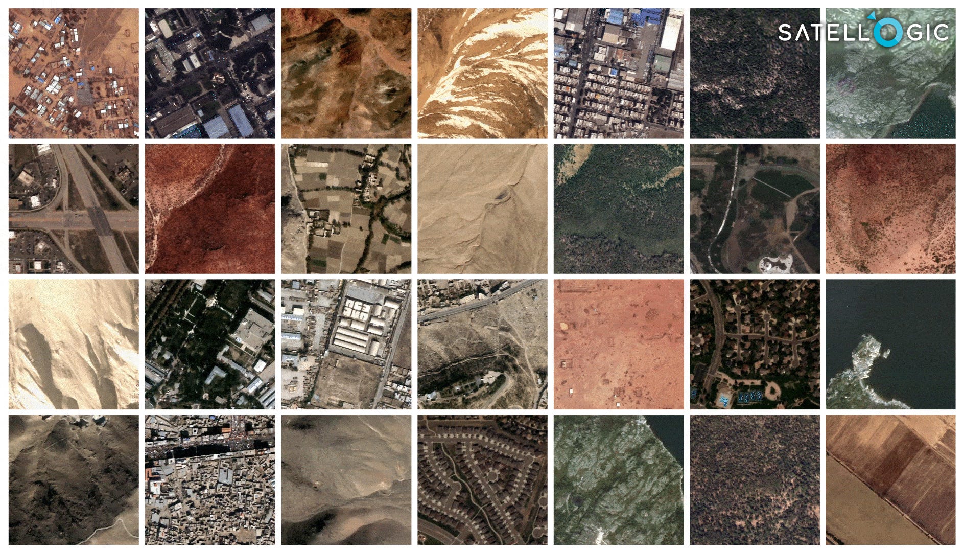
"Satellogic announced the release of a large open dataset of high-resolution imagery curated from their catalog, to support training of AI models.
The dataset contains around 3 million 384m by 384m Satellogic images of unique locations (6 million images, including location revisits) from around the world – totaling 900 Gigapixels spanning different land-use types, objects, geographies, and seasons. Satellogic data is released under a Creative Commons CC-BY 4.0 license, allowing for commercial use of the data with attribution.
The full dataset can now be accessed on Hugging Face as part of EarthView. [link]"
Level-2 News
SpaceX launches Maxar’s first WorldView Legion imaging satellites [link]
"A SpaceX Falcon 9 launched a pair of Maxar Intelligence imaging satellites May 2 from Vandenberg Space Force Base, California.
The Falcon 9 lifted off carrying Maxar-1 — the company’s first two WorldView Legion high-resolution Earth observation satellites.
These are the first two of a planned six-satellite WorldView Legion fleet of electro-optical imaging satellites — with resolution of 30 centimeters — that are expected to triple Maxar’s capacity to collect high-quality imagery and map the planet."
Airbus outlines plans for future high-resolution imaging satellites [link]
"More than a year after losing two Pléiades Neo high-resolution imaging satellites in a launch failure, Airbus has outlined plans to replace them.
The company announced April 29 a new program called Pléiades Neo Next, which it described as creating “new satellite assets and capabilities” to augment the two Pléiades Neo satellites currently in operation. That will start with one satellite Airbus has started to manufacture that will launch in the next few years.
Airbus currently operates two Pléiades Neo satellites launched in 2021, capable of providing imagery at a resolution of 30 centimeters. Two more satellites were launched in December 2022 but were destroyed in the failure of their Vega C rocket."
Kuva Space wins ESA hyperspectral contract [link]
"Finnish startup Kuva Space will provide hyperspectral data to the European Space Agency under a 1.8 million euro ($1.93 million) contract announced April 29.
Kuva Space will develop onboard data processing and rapid communications links to support Finnish government agencies focused on border security, wildfires and landslides.
The three-year research and development program will culminate with Kuva Space rapidly delivering hyperspectral data to detect illegal activities along the Baltic Sea area between Finland, Estonia and Sweden, according to the news release."
DARPA Selects Northrop Grumman, Umbra for Phase II of DRIFT Program [link]
"Northrop Grumman and Umbra have been awarded small contracts by the Defense Advanced Research Projects Agency (DARPA) to continue to the second phase of a program designed to collect data from radar-equipped satellites flying in formation and develop innovative algorithms to process the data for military applications.
During Phase II, Umbra’s satellites will generate bistatic and multistatic datasets for DARPA and Northrop Grumman to use in the development of processing algorithms."
Iceye Launches New Flood Insights Products in Canada [link]
"Iceye launched its Flood Insights and Flood Early Warning products to provide flood data to Canada. Satellite data provider Iceye, launched the products on May 2.
Iceye’s Flood Insights is powered by the company’s synthetic aperture radar (SAR) constellation. The tool aims to provide proactive data to insurance carriers to mitigate flood risks. Additionally, the company reported that Iceye’s Flood Early Warning data can predict which areas are at risk of experiencing flooding up to 96 hours before. Iceye also said that during each flood, data on the active flood water will be provided every 24 hours."
ICEYE and Juniper Re Announce Data Collaboration [link]
"ICEYE has announced a new data collaboration with Juniper Re, LLC, the dynamic reinsurance broking arm and indirect subsidiary of BRP Group.
Juniper Re will leverage ICEYE’s Flood and Wildfire Insights data to support their carrier clients by accessing near real-time observed data on large-scale events to determine the impact within hours and support data-driven decisions."
Spire Global Enters Deal with Financial Firm for Weather Forecasts [link]
"Spire Global has entered a multi-million-dollar deal with an unnamed financial firm to provide its High-Resolution Weather Forecast model. This model offers a six-day outlook powered by space data and develops an AI-powered model for long-range forecasting. Spire announced the deal on April 29.
Through this deal, Spire will utilize its recently announced collaboration with AI firm NVIDIA. Spire plans to leverage NVIDIA’s Earth-2 weather and climate change modeling platform to train and run AI weather models. These models aim to increase the accuracy of weather forecasts and produce long-range forecasts."
EO DataHub awards £3 million to Simplify Access to Earth Observation Data [link]
"The EO DataHub (EODH) has announced the award of significant further contracts aimed at unlocking the potential of Earth Observation (EO) data and completing the team for this landmark project.
These contracts represent a significant milestone in the collaboration between commercial technology providers, application developers and data sources to deliver the first digital national EO infrastructure.
The EO DataHub is a first step in modernising satellite data technologies for the UK for experts and non-experts alike. The overall goal of the project is to develop and operate a new centralised software infrastructure – DataHub – to provide a ‘single point’ of access for UK and international data offerings from distributed public and commercial sources."
Launch Date Set for NASA’s PREFIRE Mission to Study Polar Energy Loss [link]
"NASA and Rocket Lab are targeting no earlier than Wednesday, May 22, 2024, for the first of two launches of the agency’s PREFIRE (Polar Radiant Energy in the Far-InfraRed Experiment) mission to study heat loss to space in Earth’s polar regions. For the PREFIRE mission, two CubeSats will launch on two different flights aboard the company’s Electron rockets from Launch Complex 1 in Māhia, New Zealand. Each launch will carry one satellite.
NASA’s PREFIRE mission will fill a gap in our understanding of how much of Earth’s heat is lost to space from the polar regions. By capturing measurements over the poles that can only be gathered from space, PREFIRE will enable researchers to systematically study the planet’s heat emissions in the far-infrared — with 10 times finer wavelength resolution than any previous sensor."
Satellite Image Shows Construction of World's First Floating City [link]
"A floating city, considered the world's first, is starting to take shape in the turquoise waters of the Indian Ocean.
Satellite imagery provided by Maxar Technologies shows the state of construction of the Maldives Floating City, a development of modular floating platforms that is scheduled to be completed in 2027."
Developer's Orbit
New NASA Prediction Of Worldwide Energy Resources (POWER) Tutorials [link]
"NASA's Prediction Of Worldwide Energy Resources (POWER) Project mission is to improve learning, decisions, and outcomes in the renewable energy, sustainable infrastructure, and agroclimatology user communities. For any location in the world, the project provides easily accessible, customized, and trusted NASA solar and meteorological data for past, current, and future climates.
In a new video tutorial playlist, learn how to use NASA's POWER tools and services to explore solar and meteorological datasets that support the renewable energy, sustainable buildings, and agroclimatology user communities."

Met Office introduces QGIS OGC EDR Plugin [link]
"Weather data and information can be very large, fast moving, complex and with many different ways of accessing it. Four teams within the Met Office collaborated to bring data providers and data users together, increase the reach of their data and make it as simple and easy as possible.
They have developed an open Environmental Data Retrieval (EDR) standard and created a QGIS plugin to promote EDR and enable wider adoption of the standard."
Data
Planet Sandbox data [link]
"There's now 18,000+ sq kilometers of data with a 1 year full time stack, Creative Commons licensed (cc-by-nc), that can be fully accessed by any paying or trial user of Sentinel Hub. Anybody with a Planet account can now easily sign up for a generous 6 month Sentinel Hub trial."
Earth Blox dataset review: Meta Global Canopy Height (1m) [link]
Read this review of Meta's recently released Global Canopy Height dataset by Earth Blox and Prof Iain H Woodhouse.
Snapshots

Earth from Space: Namibian landforms [link]
"The area pictured here includes part of the Kunene and Erongo regions, two of Namibia’s 13 regions. The Ugab River, visible as a winding, white line cutting through the centre of the image, clearly marks the border between Kunene (to the north) and Erongo.
This false-colour image was taken in April 2024 and Copernicus Sentinel-2’s near-infrared channel was used to highlight the sparse vegetation of this extremely arid, desert landscape. Red patches of vegetation are discernible along the Ugab’s main course."
25 Years, 25 Images [link]
"Since the launch of NASA Earth Observatory (EO) on April 29, 1999, the site has hosted more than 18,000 image-driven stories, featuring everything from the newest satellite imagery to decades-long records of change. This video highlights 25 of our favorite images and data visualizations. The collection represents Earth’s diverse landscapes—deserts, mountains, oceans, and polar regions—along with depictions of human interaction with the environment."
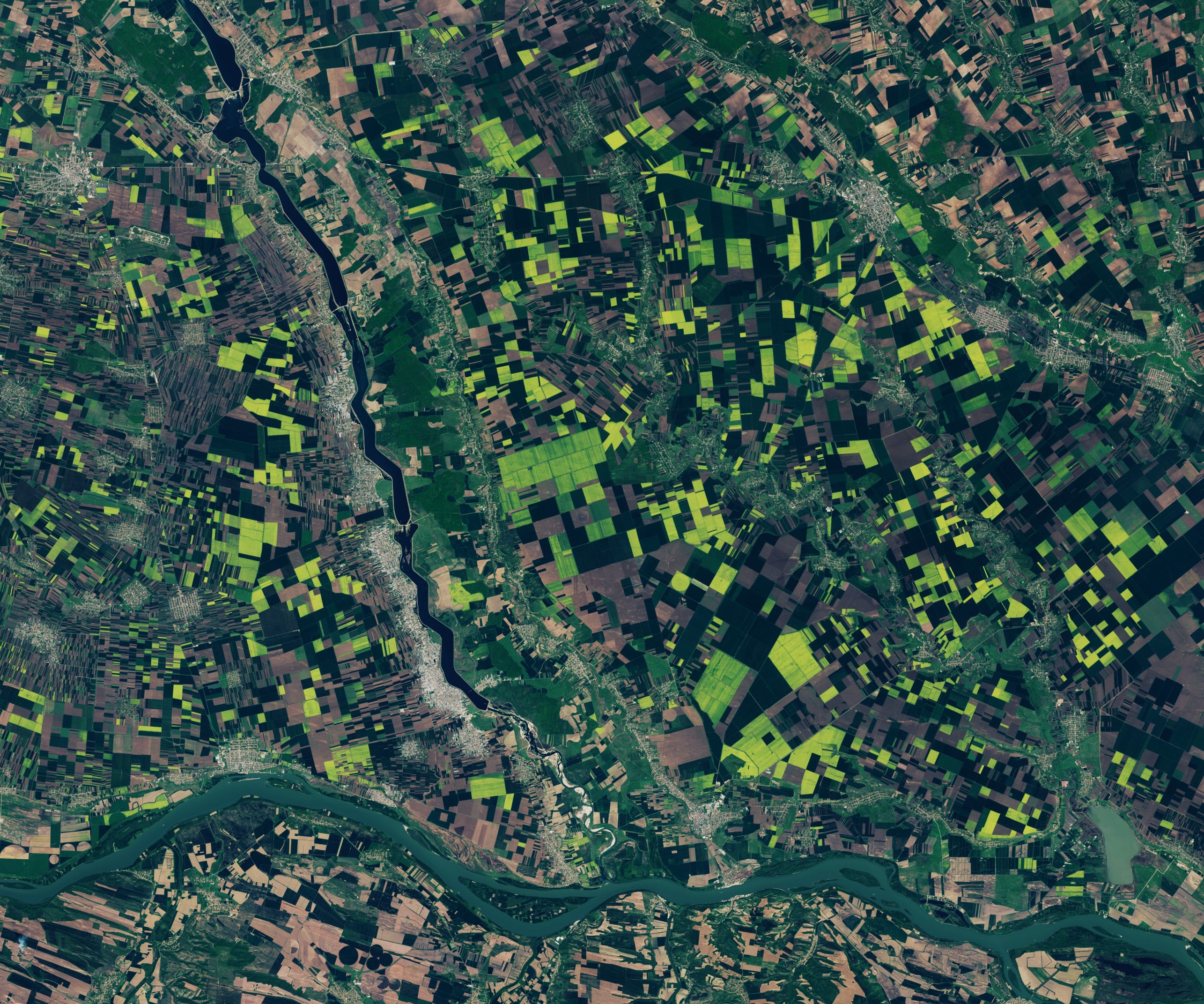
Golden Fields in Romania [link]
"Green agricultural fields in southern Romania became tinged with yellow as rows upon rows of what appear to be rapeseed or canola plants bloomed. The OLI (Operational Land Imager) on the Landsat 8 satellite captured these pops of color near the confluence of the Olt and Danube rivers on April 12, 2024."
Interesting reads
, performed on the EuroHPC LUMI supercomputer.")
Climate Change Adaptation Digital Twin: a window to the future of our Planet [link]
"Read this first in-depth story by ECMWF about the Climate Change Adaptation Digital Twin (DT) developed in the frame of the Destination Earth initiative of the European Commission. The Climate DT represents a pioneering effort to produce operationally multi-decadal climate projections. It will provide regularly updated, globally consistent Earth system and impact sector information at scales of a few kilometres, where many of the impacts of climate change are felt. At the same time, it is setting a unique capability to produce bespoke cutting-edge simulations addressing ‘what-if’ questions related to the impact of certain scenarios or policy decisions on the evolution of our planet. The Climate DT is a step change in the way information on climate change is provided, aiming to help face the complex challenges posed by our changing climate."
How New Climate Satellite Missions Aim to Bridge the Gap Between Data and Decisions [link]
"The urgent response to the climate crisis is now. With Earth facing threats from global warming, air pollution, and the decrease in ocean biodiversity, satellite initiatives that use Earth's vantage point from space provide critical data to illuminate the impacts of climate change and extend this knowledge worldwide.
These satellites can interpret the impact of climate change in different ways and enhance the public's understanding. However, acquiring this data is only the first step and many active missions are grappling with the challenge of how to make an impact once the data is out the door.
Three recently launched missions — MethaneSAT, Muon Space, and NASA’s PACE satellite — employ different technologies for environmental monitoring to show real-time reactions in the Earth’s oceans and atmosphere, and are taking different approaches to bridge the gap between data collection and real-world impact."
Telling meaningful stories with EO data [link]
"EUMETSAT has recently published the Earth Observation "Data Visualisation Good Practice" guide to help users craft impactful stories using Copernicus Open Data."
Upcoming Events
[Livestream] ICLR 2024 Workshop: Tackling Climate Change with Machine Learning [link]
There full workshop on May 11 will be livestreamed - for free! (link TBD).
From Spectral Reflectance
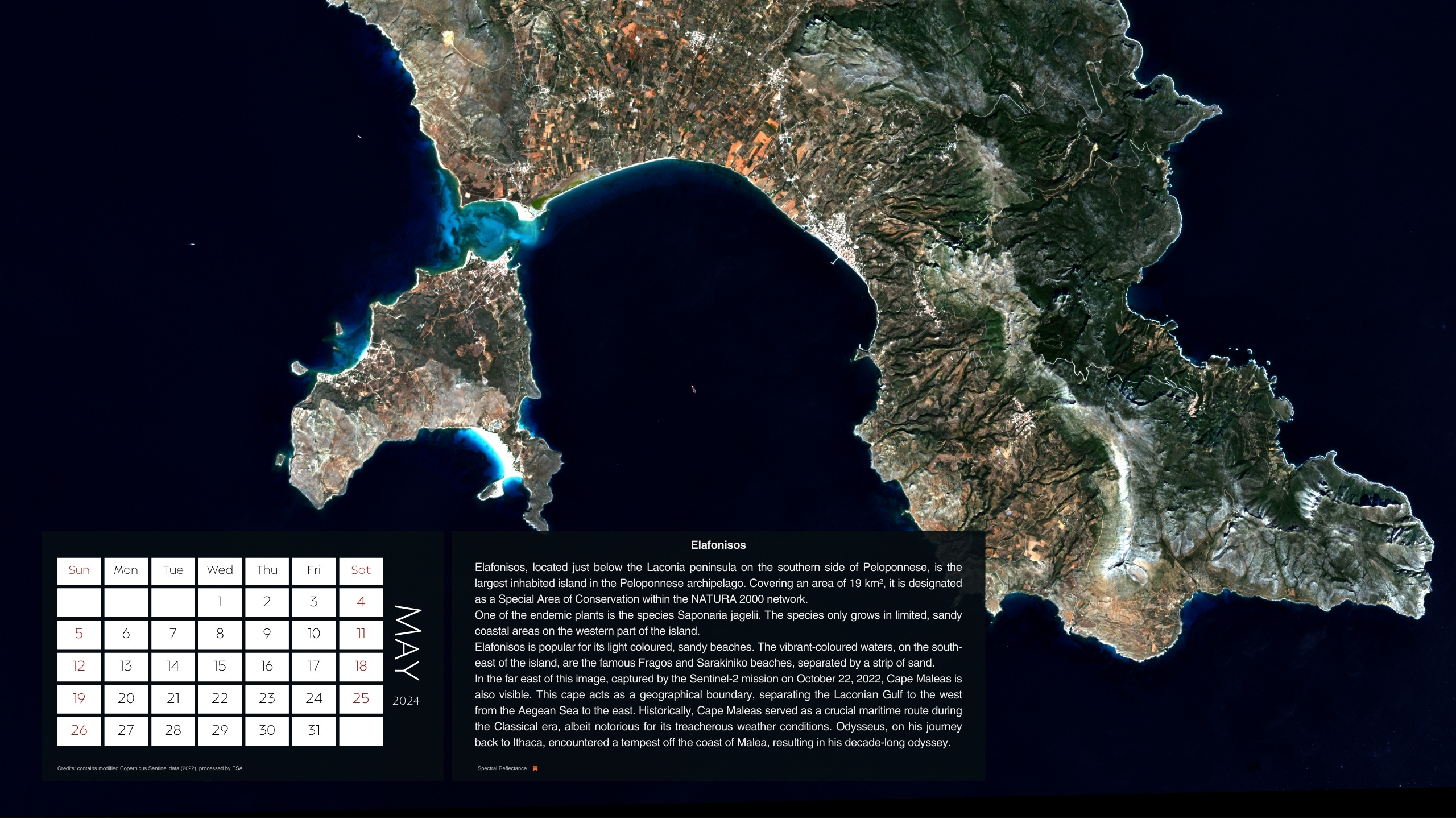
Spectral Reflectance 2024 Calendar - Greece from above [link]
The desktop image for May 2024, featuring Elafonisos, is available here!