
Reflections on the ESA-NASA International Workshop on AI Foundation Model for EO
How the EO Community Went from Adopting AI to Driving Its Future

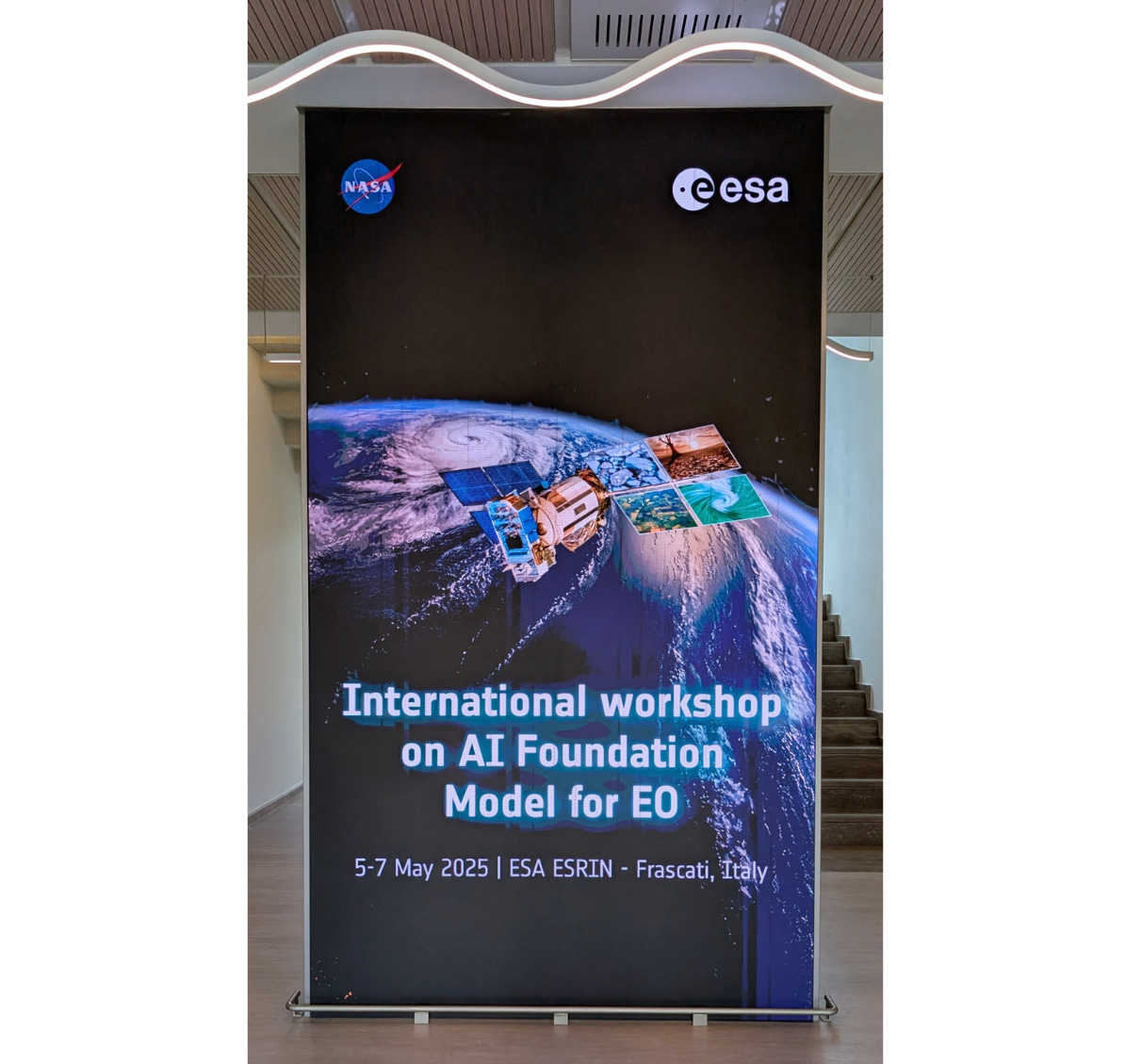
It was great attending the ESA-NASA International Workshop on AI Foundation Model for EO, the first workshop on this topic, and one clearly driven by user demand. The hands-on sessions sold out within hours of opening registration and around 300 people attended on-site — a turnout that likely surpassed the organisers’ expectations.
Back in 2017, when I was working on my thesis — Land Cover Mapping using Deep Learning Models (based on this, implemented in the now-retired deep learning library Theano, and this) — deep learning wasn’t widely adopted by the EO community. Traditional ML approaches such as SVMs still dominated. It’s not that more powerful DL models didn’t exist — they did — but they hadn’t yet made their way into the EO workflows. ML was a tool, and at the time, most EO experts didn’t know how to use it effectively.
It’s no surprise that it took a couple of years for U-Net to reach EO applications. I believe a key turning point was the DSTL satellite imagery competition on Kaggle.
That competition sparked a mindset shift.
Several of the top-performing solutions featured U-Net-based architectures, reflecting how Kaggle participants, many with experience in other computer vision segmentation challenges, applied those tools to satellite imagery for the first time. It demonstrated that effective deep learning architectures already existed; the challenge was adapting them to the EO domain.
I even found the blog post I read at the time by the deepsense.ai team who placed 4th in that competition, and outlined their approach.
The original U-Net paper was published in 2015; It took two years for a robust, SOTA model in computer vision to make its way to the hands of EO experts.
For a while, it felt as though the EO community was just waiting for the next CVPR paper to drop, looking to other fields to innovate, and then adapt those ideas to EO.
The EO community was following, not leading.
But the pace of adoption began to accelerate.
When Meta AI released the Segment Anything Model (SAM) in 2023, the EO community responded instantly. Within days there were Python wrappers and integration with ArcGIS. Within weeks people were exploring SAM as a labeling tool and creating QGIS plugins.
Today, the EO community is no longer just a consumer of AI; it's helping shape its future.
Major climate and weather institutions like ECMWF and NOAA have helped lead the way, playing a critical role in this shift by pioneering the integration of AI into climate and weather forecasting systems. Today, we’re seeing foundation models designed with EO at the core.
I often say that weather is the success story of EO, and ECMWF’s AIFS (AI/Integrated Forecasting System) is a prime example. It shows how — once again — the weather and climate domain is not just adopting AI ; it’s actively driving its development.
It’s also worth noting that leading tech companies like IBM, NVIDIA, and Google have increasingly become involved in the EO and climate AI space over the past few years. From IBM's Prithvi WxC and Terramind, to NVIDIA’s Earth-2 (and FourCastNet), and Google’s flood forecasting systems and geospatial reasoning, these initiatives signal that AI4EO is no longer a niche domain; it’s a key area in AI development.
Earth Observation is rapidly becoming a proving ground for frontier AI applications, where models are tested at scale on complex, real-world challenges.
For me, this workshop was a milestone. It marked a shift:
from adapting AI to EO, to driving AI forward because of EO.
EO experts aren’t just users anymore; they’re contributors, architects, and collaborators helping shape the AI domain.
Hello